With a little prompt craft, you can get some good regional maps out of ChatGPT.
Here is the original photo I took on a flight from London for Amsterdam:

The prompt I used:
Use this image to determine the layout of a D&D map in the style of Dungeons and Dragons adventures and maps. Pay attention to the rivers, coastline and building placement.
The result was cartoonish, so I prompted it again with:
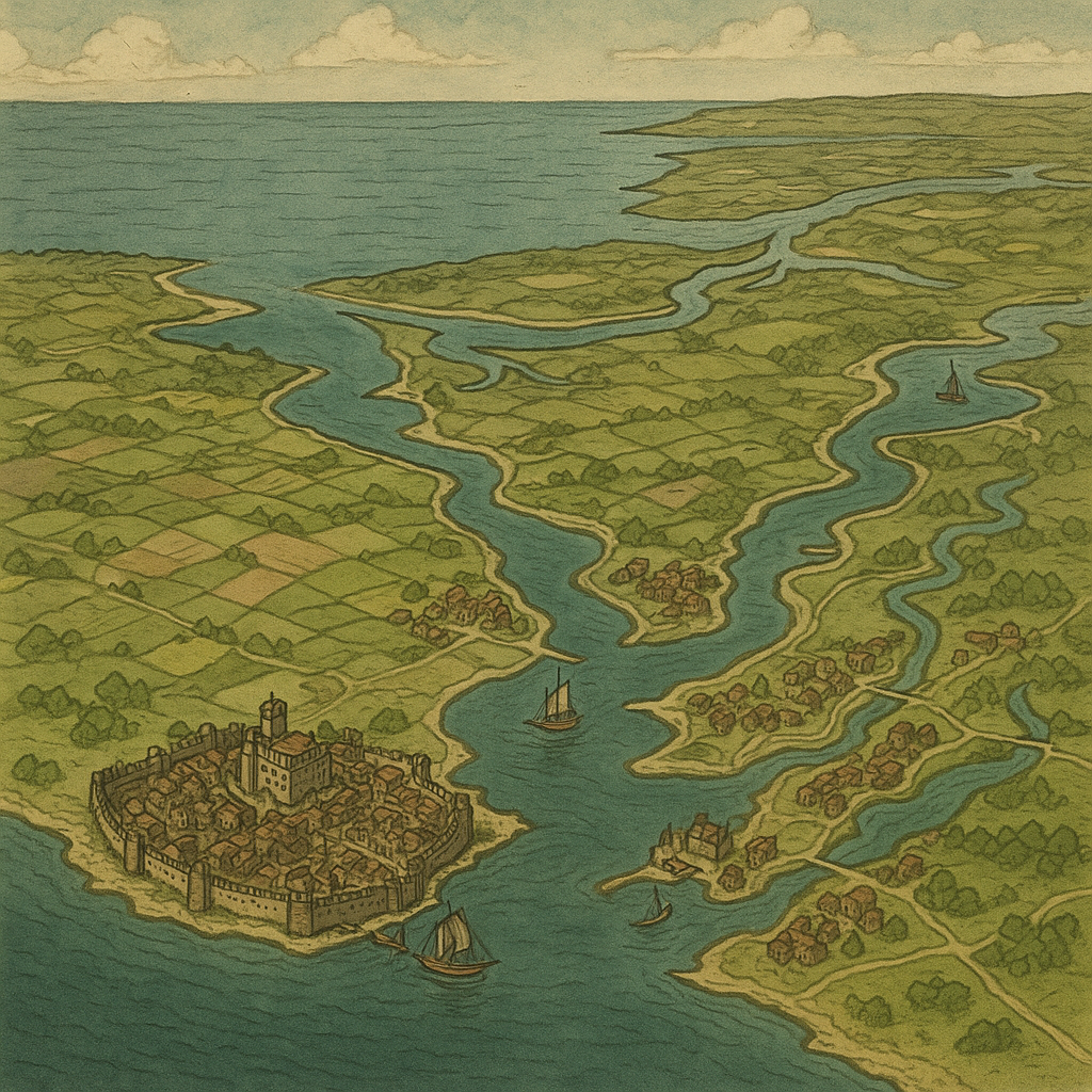
I wanted it more from the perspective of the original and more realistic looking don’t put names in things
Then I got these. The second is just asking for another view and more signs of human life:


I wanted another one, but as often happens ChatGPT reverted to its weird anime style:
The last one aside, these are great for D&D play, especially my solo playing.
Leave a Reply